Regional Training Program in Toponymy, including Marine Toponymy, Manila Philippines, 19-24 March 2018
1. Objectives
The objective of the Regional Training Program in Toponymy is to support capacity building for members of the UNGEGN Asia South East Division responsible for the standardization of geographical names. The course is aimed at increasing the knowledge and understanding of the principles and concepts of geographical naming and the standardization of a country’s toponyms with special emphasis on marine toponymy; transfer methods and best practices in geographical names data collection; toponymic database building, the design and development of gazetteers, geographical names servers, practices in cartographic applications and procedures in creating and managing a geographical names bureau.
The course is coordinated by the United Nations, Department of Economic and Social Affairs, Statistics Division, UNGEGN working group on Training Courses in Toponymy, in collaboration with the National Mapping and Resource Information Authority of the Philippines (NAMRIA).
2.  Draft Training Programme
3. Course Outline
4. Resource Guide
5. Course Evaluation: Please complete online questionnaire
https://docs.google.com/forms/d/11Yml-gu0FlH8KXWuEtgpghvCR8VPjXusrfHK69mzGeE/edit
6. Course Participants List
7. Opening Ceremony
8. Course Materials
Day 1
Day 2
Day 3
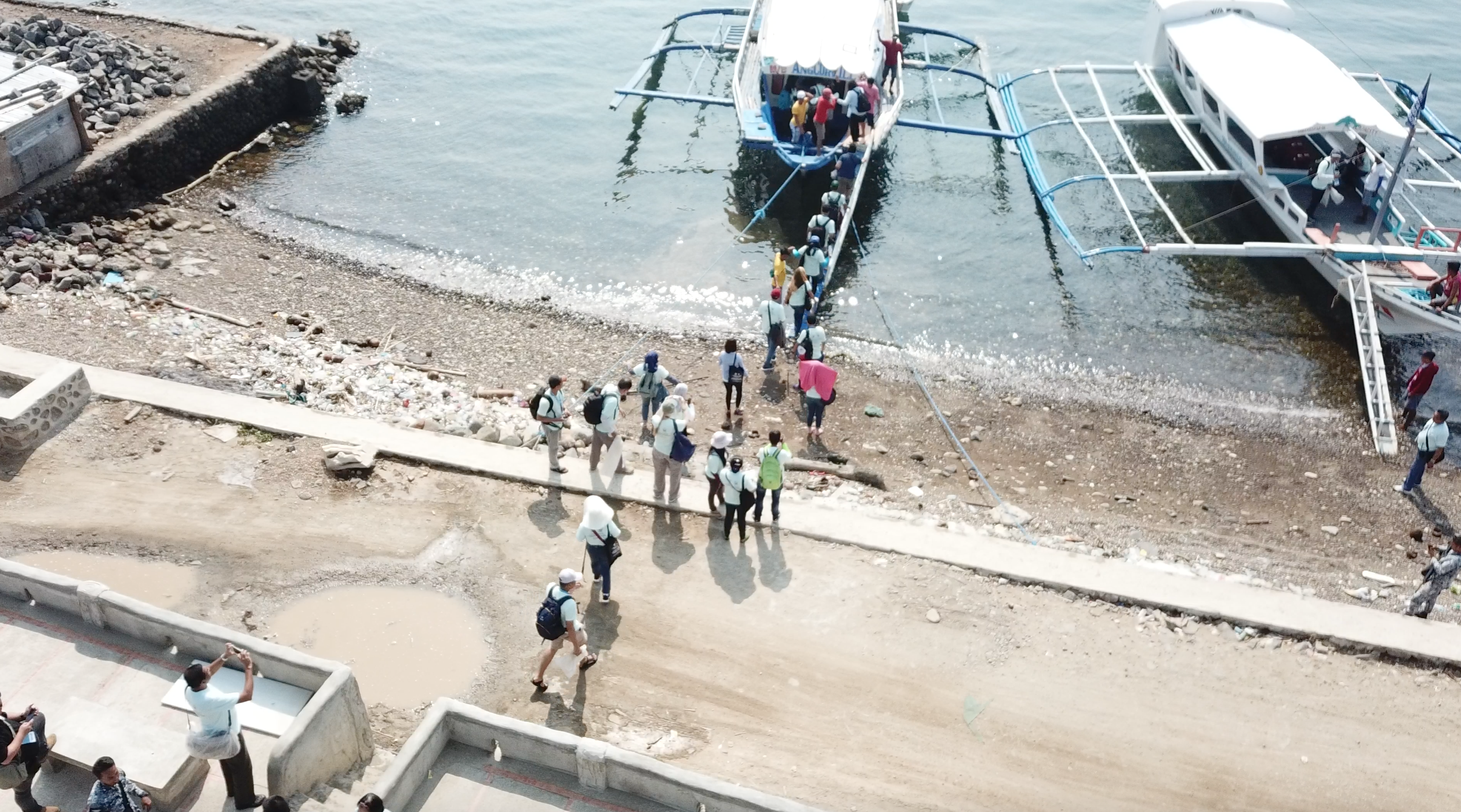
Day 4Drone pictures - Picture #1, Picture #2, Picture #3, Picture #4, Picture #5, Picture #6, Picture #7, Picture #8, Picture #9
Day 5Group presentation
Day 6
9. Closing Ceremony
Mr. Peter N. Tiangco, Administrador NAMRIA
10. Pictures and Video
Field work - collage of pictures Flicker pictures - UNGEGN Training Manila
