The UN World Data Forum 2018, to be held in Dubai in October 2018, represents a major step in transforming our world through the dedicated work of statistical and mapping organizations in each country.
One of the key focuses of the Forum will be the 2030 Agenda for Sustainable Development. This is centered upon 17 Sustainable Development Goals (SDGs) and 169 targets, which are monitored through a series of global indicators that leverage the rich statistical and geospatial data collected by countries worldwide.
These goals and targets can also be communicated and visualized using emerging web-based geographic information systems (GIS) technology. At the global level, there are over 230 indicators used to track and communicate progress on the global goals, and partnerships for GIS work on these indicators have already begun to produce groundbreaking results.
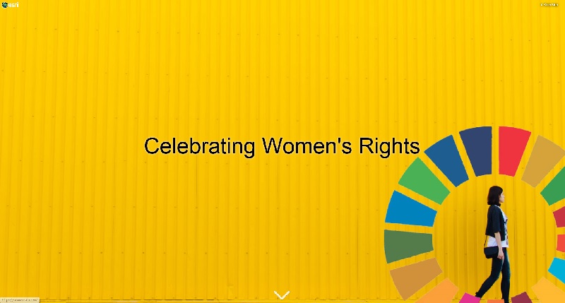
Here is one expression of the SDGs relating to gender equality.
View the Celebrating Women's Rights Story Map in your web browser.
GIS Story Maps can be an effective way to engage with citizens.
Building a Global GIS that integrates geographically referenced data from multiple sources over time and delivers actionable information for sustainable development represents a bold, massive commitment. Since its inception, our view at Esri is that the 2030 Agenda is achievable -- if we can work collaboratively to inform better decisions and communicate progress worldwide. Already, the global community is taking meaningful steps to implement this vision. For example, as part of a joint research exercise, fourteen countries of differing development contexts have already successfully begun to demonstrate how using GIS technologies can support their SDG implementation strategies. During 2017, the statistical offices and mapping agencies in fourteen countries have been collaborating and implementing GIS technologies for sustainable development.
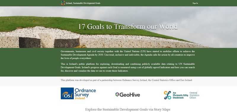
Ireland's National Website for the SDGs. The Central Statistics Office Ireland (CSO), in partnership with Ordnance Survey Ireland (OSi), launched its new website in November 2017.
Building on existing data and infrastructure to develop a web-based Global GIS for Sustainable Development
The mapping and statistical communities in many countries are making remarkable progress towards this vision of a Global GIS for Sustainable Development. It starts with existing data collection programmes and initiatives, and continues with each country collating and integrating information from multiple sources about its population and demographics, its business operations, natural environment, agriculture, health, education, gender equality, and so on. As most countries already collect and maintain data for their national priorities and purposes, technology now can enable them to simultaneously contribute towards assembling a shared Global GIS for Sustainable Development that can be leveraged by everyone over the worldwide web.
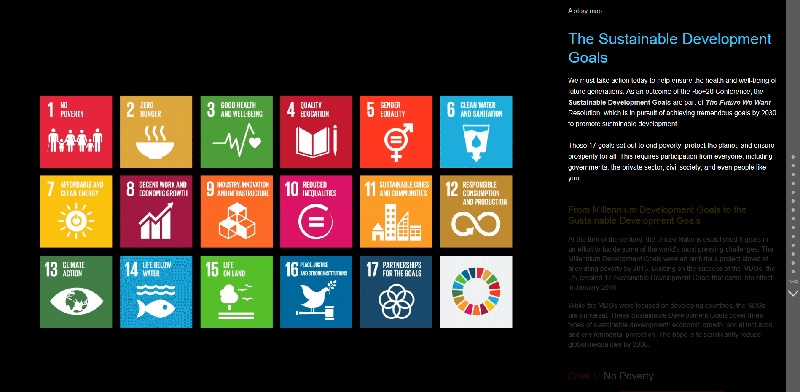
View this SDG Story Map in your web browser to learn more about the 17 sustainable development goals for the 2030 Agenda.
The advent of cloud computing allows every country to continuously contribute data to this shared Global GIS for Sustainable Development. This shared Global GIS is a community system in which all countries can contribute their official data in an open, secure environment, that is easily accessible, and that can also be visualized and shared as informative maps and reports.
But open access to individual datasets alone is not enough. A web-based Global GIS for Sustainable Development requires additional information items, synthesized data layers, web maps, analytics and apps that bring GIS to life for each SDG to the global community.
Fortunately, web technology enables us to bring all these data resources together in a web-based Global GIS so all of us can follow up and respond to the progress on each SDG, from local to global levels. Crucially, this amazing work is now country-owned and country-led, facilitated by international organizations such as the UN Statistics Division (UNSD) and many other development partners from civil society, the private sector and academia. Engagement in this will be a key focus for the second World Data Forum coming to Dubai in October 2018.
Partnerships will be critically important
In the past five years, web GIS has evolved rapidly to become a social platform for engagement at many levels. Perhaps one of the important goals for UNWDF 2018 in Dubai will be the ability to form and grow partnerships for implementing this shared Global GIS for Sustainable Development. This initiative will require strong commitments from each country to continue to collect, collate and share robust statistical information for each goal, and the commitment to share what is observed and learned -- both in terms of data sharing as well as sound practices.
UNWDF 2018 will be a learning event where we can share knowledge, experience and practices. My sense is that 2018 will be a breakthrough year for all of us as global citizens. I am very excited by the possibilities and potential we can achieve by partnering and working together. I truly believe that the SDGs are within our capacity and desire to achieve. Purposeful and strong partnerships will help ensure that the full potential of a shared Global GIS for Sustainable Development is enjoyed by all.
Clint Brown has been responsible since 1983 for managing all Esri GIS product releases in use today in hundreds of thousands of organizations worldwide. He is a member of the Programme Committee for the UN World Data Forum 2018.